Mt Adams Summit
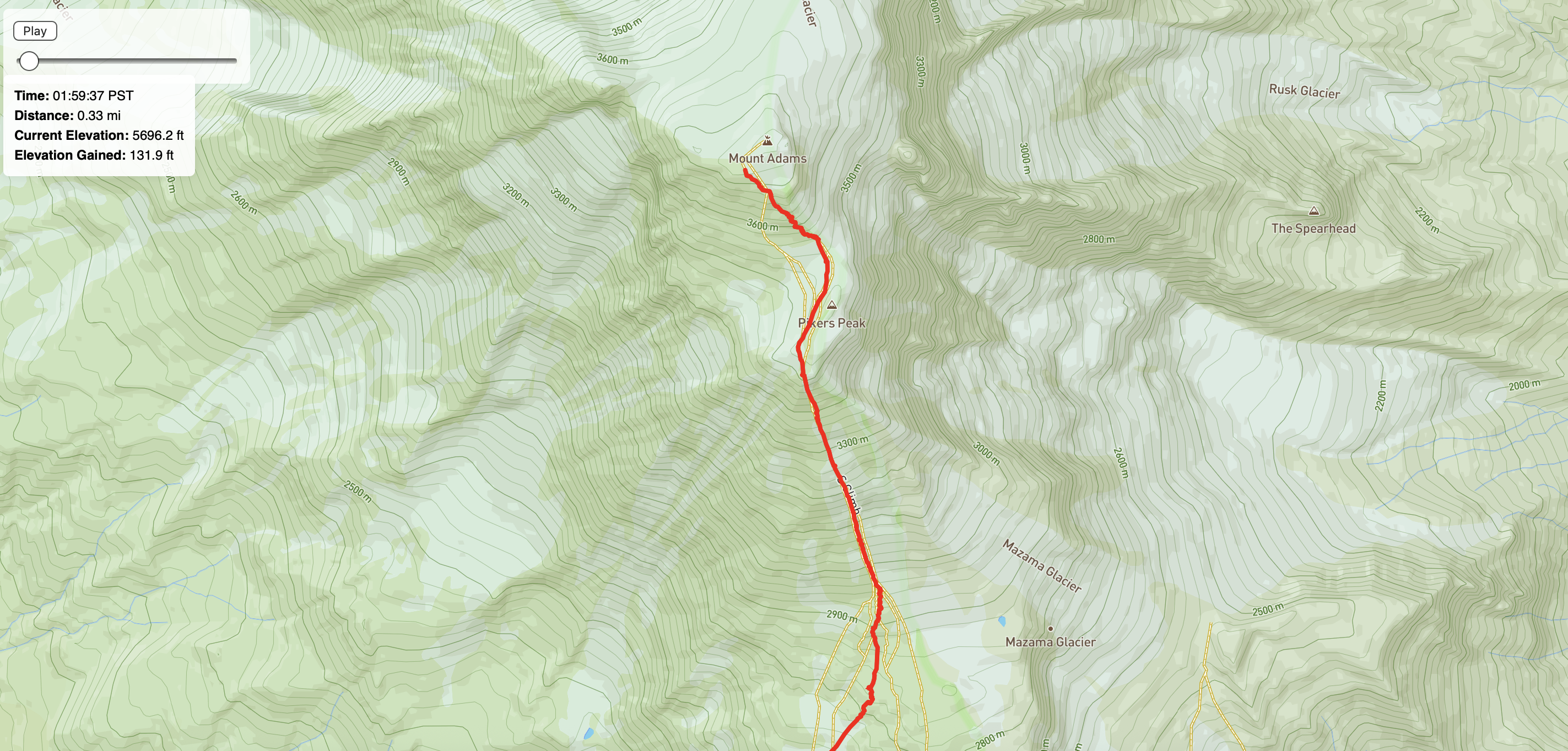
An interactive GPS visualization of a hike up Mt Adams. Built with P5JS and Mapbox to translate movement through high-altitude terrain into a digital narrative.
An interactive GPS visualization of a hike up Mt Adams. Built with P5JS and Mapbox to translate movement through high-altitude terrain into a digital narrative.