Mt St Helens Summit
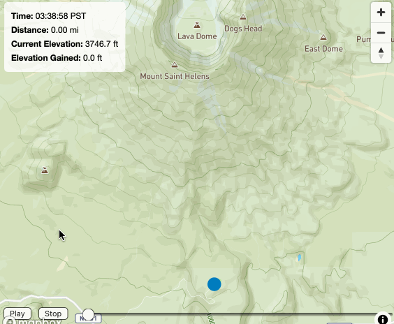
This project is an interactive visualization of a 2023 hike up Mt St Helens. By mapping the specific route taken, the experience provides a spatial narrative of the summit attempt.
The interface allows users to explore the terrain and path interactively. It serves as a bridge between personal physical effort and digital data representation, making a static GPS log into a dynamic visual experience.